Two Interstates Go Dark In South Dakota As Drivers Hit With Rare Cascading Shutdown Across 3 States
Saturday night, the Upper Midwest got a message nobody plans for — two interstates, gone. Not reduced to one lane. Not crawling at 20 mph behind a plow. Barricades. The kind that appear before your GPS reroutes, before your truck’s traction control has anything to work with, before you’ve made a single decision.
South Dakota’s highway network has circuit breakers most drivers don’t know exist. On March 14, officials flipped two of them at once.
The Storm That Made the Roads Irrelevant
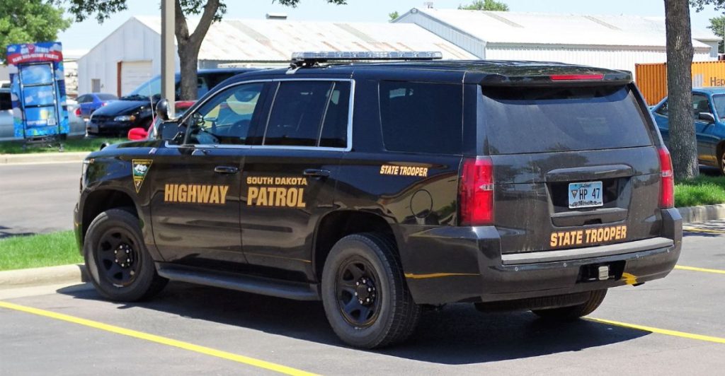
It didn’t matter what you were driving. The South Dakota Highway Patrol issued a public warning days out: “Plan accordingly. This storm will most likely require the closure of roadways.” Forecasters were tracking two back-to-back systems targeting the Northern Plains and tracking toward the Great Lakes, the second and more dangerous aimed directly at eastern South Dakota.
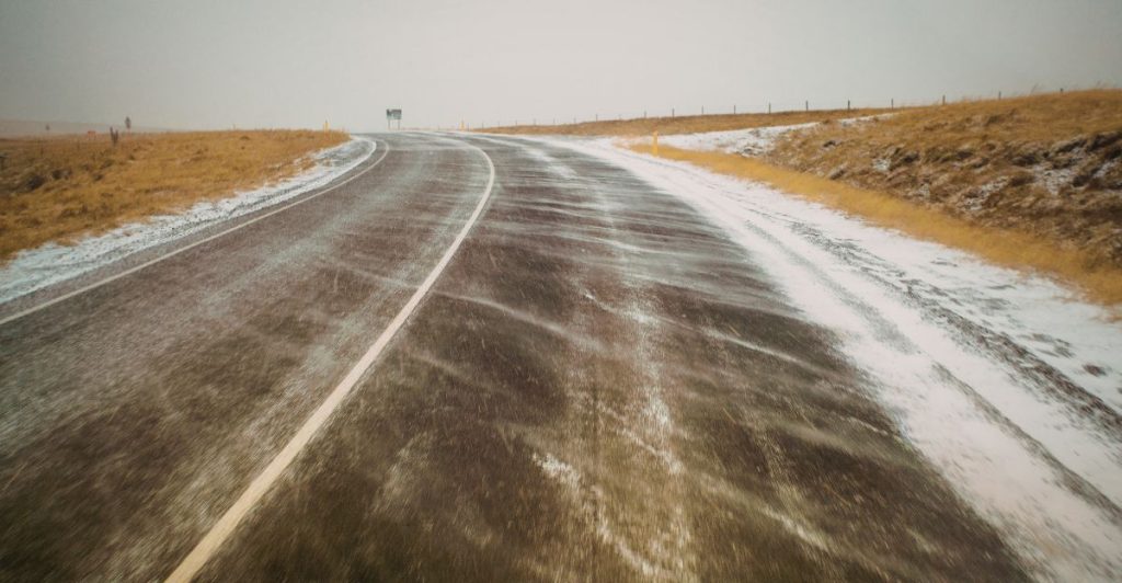
NWS Sioux Falls projected 6 to 15 inches of snow with winds gusting between 40 and 60 mph. At those wind speeds, blowing snow doesn’t just reduce visibility, it erases it. Your headlights become a wall of white.
Four Waves, Two Interstates, One Night
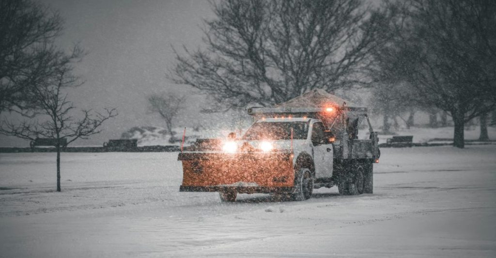
SDDOT didn’t close everything at once; they staged it in four deliberate waves, working from the worst-hit corridors south as conditions spread. I-29 northbound and southbound from Watertown to the North Dakota state line went dark at 9 p.m. Central. An hour and a half later, the closure pushed south to Brookings. By midnight Central, the final I-29 segment from Brookings to Sioux Falls was locked.
I-90 followed — eastbound and westbound from Wall all the way to Sioux Falls, at Marion Road closed at 11 p.m. Mountain, midnight Central. If your Saturday night route touched either of those corridors, your drive was over before it started.
The Interstate Closed. So Did Everything Around It.
Drivers who thought they could route around South Dakota hit the same wall in neighboring states. Iowa DOT and the Iowa State Patrol closed I-35 from Ames north to the Minnesota border at 3 p.m. Central Sunday. By Sunday evening, I-80 was shut down in two segments: from Council Bluffs east to West Des Moines, and from the eastern Des Moines metro to Iowa City.
Iowa officials explicitly warned drivers not to try back roads as a workaround. Those roads offered the same zero visibility with fewer plows, no shoulders, and no services for miles. Blizzard warnings and no-travel advisories were issued for southern Minnesota simultaneously. There was no clever alternate route. There was shelter, or there was risk.
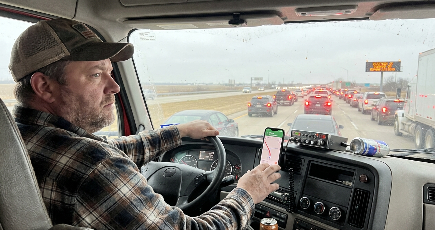
Your Truck Lied to You

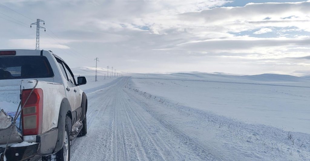
This is the slide that matters for anyone who drives a capable vehicle and trusts it in winter. Four-wheel drive moves you through snow. It does not help you brake on ice. It does not restore visibility in a whiteout. It does not prevent you from becoming an obstacle on a closed highway when conditions drop faster than forecasts predicted.
SDDOT explicitly warned that secondary roads are just as dangerous as interstates and don’t have the same patrol presence, rescue access, or plow frequency. The drivers who got into trouble Saturday weren’t driving bad vehicles. They were driving good vehicles in conditions that had already exceeded what any vehicle can handle.
Truckers Had It Worse

Personal vehicles could pull off and wait. Freight couldn’t. When I-29 and I-90 shut simultaneously, every rig running grain, livestock, fertilizer, or manufactured goods across the Northern Plains hit a wall. Iowa DOT confirmed that the Woodbury County Emergency Management Agency — covering the Sioux City area — was maintaining a live list of truck parking locations for stranded drivers. Hours-of-service clocks don’t pause for blizzards.
Loads with delivery windows don’t flex because a DOT closed the interstate. The agricultural ripple from disruptions of this scale, delayed fertilizer runs, stranded livestock haulers, and grain sitting at elevators, starts showing up in the supply chain within 24 hours.
The One Decision That Mattered

There was a single real window to get this right, check conditions before departure, because the closures moved fast once the threshold was crossed. SDDOT’s first barricade went up at 9 p.m. Central, meaning anyone who hadn’t made a shelter decision by early evening was already reacting instead of planning. Officials stated the closures could remain in place “through the day on Sunday” depending on accumulations and wind.
For a driver with a Sunday morning commitment, a job, a family trip, a load to deliver that’s not an overnight delay, that’s a full recalculation with no guaranteed end time and conditions still changing.
The Tool Every Driver Should Already Be Using
A press release tells you a road is closing. Your navigation app tells you what it knew an hour ago. Neither one tells you whether that road is open right now, at 2 a.m., after conditions shifted since the last update. SD511 does. Iowa has 511 Iowa. Minnesota has 511 MN. These are the same feeds truckers, dispatchers, and law enforcement use to make real-time routing calls.
The South Dakota Highway Patrol also ran a live text-alert service throughout the event: text SDInterstates to 605-836-8836. Before any winter drive in the Northern Plains, 511 is the last check that actually reflects conditions on the ground. Everything else is a starting point.
This Wasn’t Just a Road Story
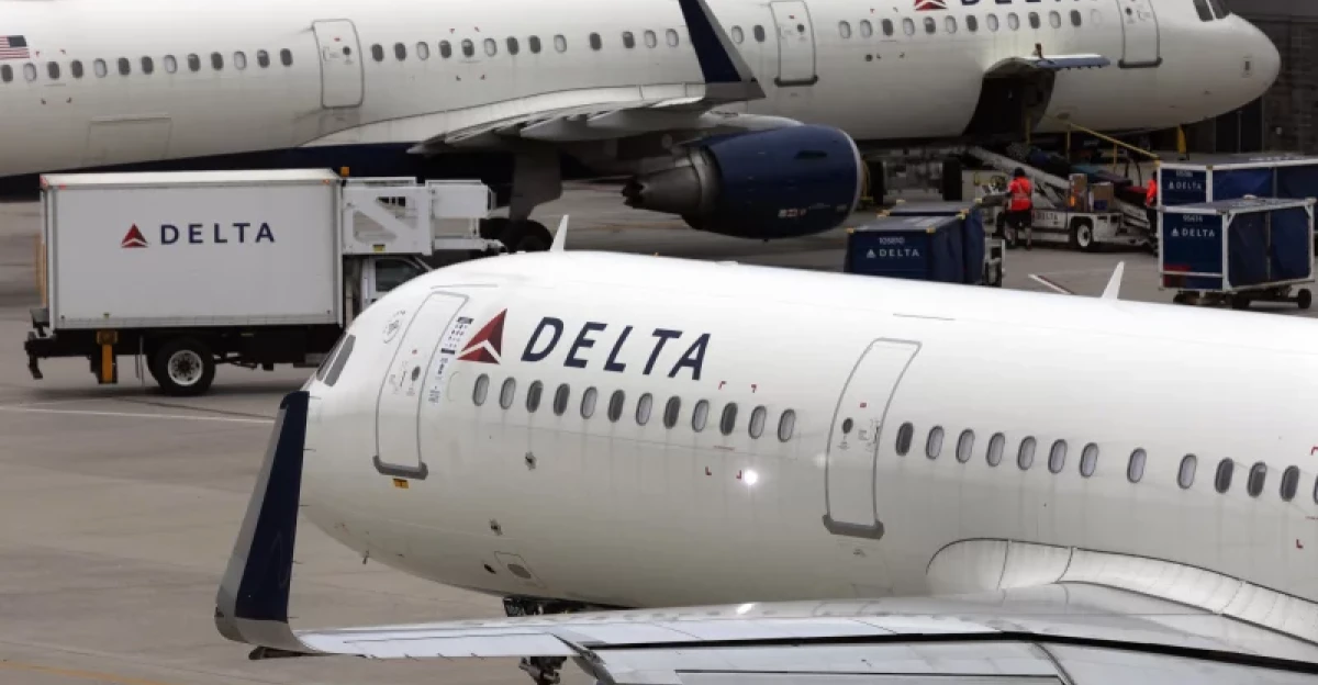
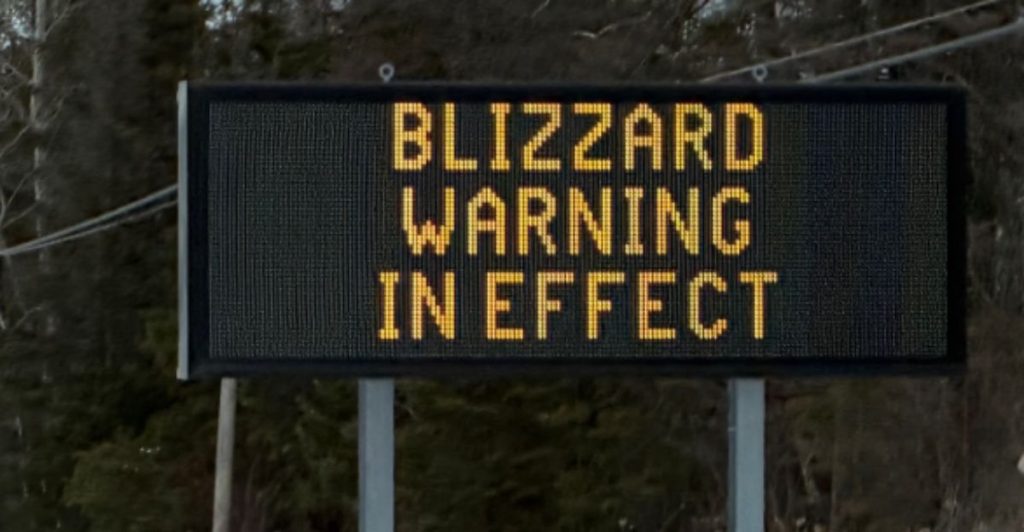
Nearly 2,000 flights were cancelled Sunday as the storm spread east, with the bulk hitting Midwest airports. Delta canceled more than 220 flights on Sunday alone. SkyWest, operating under United, Delta, American, and Alaska, scrubbed more than 120. Blizzard warnings covered eastern South Dakota, southern Minnesota, northern Wisconsin, nearly all of Iowa, the Upper Peninsula of Michigan, and parts of Nebraska and Illinois.
AccuWeather projected 1 to 3 feet of snow from Minneapolis to the Michigan corridor. NWS called it plainly: travel would likely become “impossible.” The interstate closures were the first domino. The full regional shutdown of roads, air, and freight followed.
Open Doesn’t Mean Safe
I-29 and I-90 reopened at 10 a.m. Central on Sunday, March 15, but the SDDOT release wasn’t a green light. It was conditional: expect ice, snow-covered pavement, sustained winds, and blowing snow that cuts visibility without warning. No Travel Advisories were still active on highways across South Dakota at the moment the interstates unlocked. The roads were open and dangerous at the same time. In southern Minnesota, MnDOT hadn’t even reached that point yet; highways there stayed closed through Monday.
Legal status and driving condition are two different things. One gets decided in a press release. The other gets decided at your on-ramp, with current conditions in front of you, and nobody else is responsible for that call but you.
Sources
Interstate 29 and Interstate 90 Reopened — Sunday, March 15, 2026 — South Dakota Department of Transportation
Interstate 29 and Interstate 90 Closures Scheduled for Saturday, March 14, 2026 — South Dakota Department of Transportation
Highways Remain Closed Across Southern Minnesota in Wake of Blizzard — MPR News